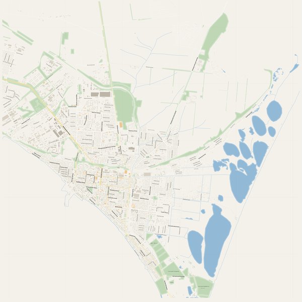
Large-format printable PDF maps of Berdyansk, Ukraine — every street with its name, every house number centred on its building, hospitals, schools and civic services. Vector PDF: print sharp at any size, from desk format to a wall poster.
Three printable PDF maps from the same OpenStreetMap data — pick the one for your use case. Single-file download, no subscription, vector quality at any print size.
FREE
Free city map
Every street with its name on a clean overview of the whole city. Good for orientation, route planning meetings, and as a base layer your team can mark up.
All streets, all street namesParks, water, civic landmarksNo house numbers — see the streets-with-numbers map for thoseVector PDF · scale 1 : 5 000 · paper sized to city extent
House numbers placed in the centre of every building, every street labelled. Pure address map — no clutter. For mailroom, courier, planning, surveying.
Every street + every house number (centred on building)No POI clutter — addresses speak for themselvesBuilding colour legend in footer (residential / hotel / shop / civic)Vector PDF · scale 1 : 5 000 · paper sized to city extent
The addresses map plus civic landmarks: hospitals, fire stations, police, universities, pharmacies. Built for office walls, dispatch rooms, planning departments.
Every street + every house numberHospitals, fire stations, police, universities, pharmacies markedDistinct shapes per category — readable in black & white photocopyVector PDF · scale 1 : 5 000 · paper sized to city extent
Real numbers from the OpenStreetMap data this map is rendered from.
383named streets
644km of streets
8,418house numbers
24,173buildings
318parks & green areas
Longest streets in Berdyansk
Мелітопольське шосе14.27 km
вулиця Макарова13.51 km
Руднєвої вулиця6.8 km
Петровський шлях вулиця6.47 km
Східний проспект6.06 km
Гагаріна вулиця5.29 km
Civic services on the pro map
PharmaciesЕкофарм · Здрава · Медсервіс +7
ClinicsВізант · Медифаст · Дитяча поліклініка +4
SchoolsБердянська загальноосвітня санаторна школа-інтернат І-ІІІ ступенів · Школа №6 · Гімназія №2 +7
KindergartensДошкільне відділення Бердянської школи інтернату · Дитячий садок №41 "Казка" · Садок №41 'КАЗКА' +7
UniversitiesБердянський державний педагогічний університет · Коледж №25 · БУМиБ +2
PoliceМіський відділ МВС України
Fire stationsБердянськ 19
HospitalsБердянська міська лікарня · КУ „Бердянський протитуберкульозний диспансер” · Шкірно-венерологічний диспансер +1
The Berdyansk map, printed
What you get and how it prints.
What size is the printed Berdyansk poster?
At the native scale of 1 : 5 000 the Berdyansk map measures about 278 × 445 cm. It is a vector PDF, so you can also print it smaller (A3, A2) or larger without any loss of sharpness.
What exactly is on the map?
383 named streets (643 km in total), 8,418 house numbers placed on their buildings, parks, rivers and civic landmarks — all from current OpenStreetMap data for Berdyansk.
What file formats do I get?
A vector PDF (prints sharp from A4 up to a 2-metre wall poster) and a large JPG preview. One file, instant download, no subscription.
Can I get a refund?
14-day refund, no questions asked. See our refund policy. →