Large-format printable PDF maps of Biarritz, France — every street with its name, every house number centred on its building, hospitals, schools and civic services. Vector PDF: print sharp at any size, from desk format to a wall poster.
Three printable PDF maps from the same OpenStreetMap data — pick the one for your use case. Single-file download, no subscription, vector quality at any print size.
FREE
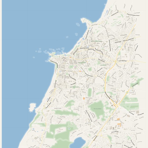
Free city map
Every street with its name on a clean overview of the whole city. Good for orientation, route planning meetings, and as a base layer your team can mark up.
All streets, all street namesParks, water, civic landmarksNo house numbers — see the streets-with-numbers map for thoseVector PDF · scale 1 : 5 000 · paper sized to city extent
House numbers placed in the centre of every building, every street labelled. Pure address map — no clutter. For mailroom, courier, planning, surveying.
Every street + every house number (centred on building)No POI clutter — addresses speak for themselvesBuilding colour legend in footer (residential / hotel / shop / civic)Vector PDF · scale 1 : 5 000 · paper sized to city extent
The addresses map plus civic landmarks: hospitals, fire stations, police, universities, pharmacies. Built for office walls, dispatch rooms, planning departments.
Every street + every house numberHospitals, fire stations, police, universities, pharmacies markedDistinct shapes per category — readable in black & white photocopyVector PDF · scale 1 : 5 000 · paper sized to city extent
Real numbers from the OpenStreetMap data this map is rendered from.
707named streets
297km of streets
2,167house numbers
11,828buildings
345parks & green areas
Longest streets in Biarritz
Autoroute de la Côte Basque13.51 km
Boulevard du BAB5.03 km
Chemin de Bosquet2.38 km
Boulevard Marcel Dassault2.06 km
Avenue de Biarritz1.96 km
Avenue de Bayonne1.89 km
Civic services on the pro map
PharmaciesPharmacie de la Milady · Pharmacie de l'Océan · Pharmacie de Verdun +7
PolicePolice nationale · Police municipale
SchoolsCollège Jean Rostand · Lycée André Malraux · Collège privé Immaculée-Conception +7
ClinicsPostureval
UniversitiesÉcole Supérieure des Technologies Industrielles Avancées · ESTIA 2 · École supérieure d'art Pays Basque - Site des Rocailles +2
HospitalsClinique Aguiléra
The Biarritz map, printed
What you get and how it prints.
What size is the printed Biarritz poster?
At the native scale of 1 : 5 000 the Biarritz map measures about 75 × 112 cm. It is a vector PDF, so you can also print it smaller (A3, A2) or larger without any loss of sharpness.
What exactly is on the map?
707 named streets (296 km in total), 2,167 house numbers placed on their buildings, parks, rivers and civic landmarks — all from current OpenStreetMap data for Biarritz.
What file formats do I get?
A vector PDF (prints sharp from A4 up to a 2-metre wall poster) and a large JPG preview. One file, instant download, no subscription.
Can I get a refund?
14-day refund, no questions asked. See our refund policy. →