Large-format printable PDF maps of Besançon, France — every street with its name, every house number centred on its building, hospitals, schools and civic services. Vector PDF: print sharp at any size, from desk format to a wall poster.
Three printable PDF maps from the same OpenStreetMap data — pick the one for your use case. Single-file download, no subscription, vector quality at any print size.
FREE
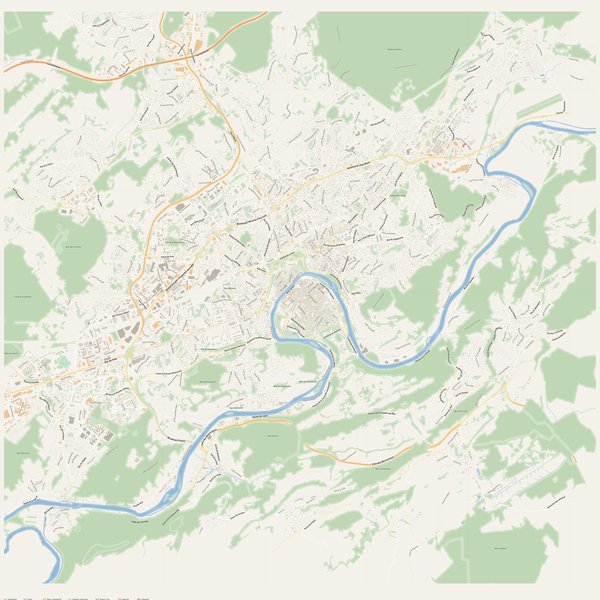
Free city map
Every street with its name on a clean overview of the whole city. Good for orientation, route planning meetings, and as a base layer your team can mark up.
All streets, all street namesParks, water, civic landmarksNo house numbers — see the streets-with-numbers map for thoseVector PDF · scale 1 : 5 000 · paper sized to city extent
House numbers placed in the centre of every building, every street labelled. Pure address map — no clutter. For mailroom, courier, planning, surveying.
Every street + every house number (centred on building)No POI clutter — addresses speak for themselvesBuilding colour legend in footer (residential / hotel / shop / civic)Vector PDF · scale 1 : 5 000 · paper sized to city extent
The addresses map plus civic landmarks: hospitals, fire stations, police, universities, pharmacies. Built for office walls, dispatch rooms, planning departments.
Every street + every house numberHospitals, fire stations, police, universities, pharmacies markedDistinct shapes per category — readable in black & white photocopyVector PDF · scale 1 : 5 000 · paper sized to city extent
Real numbers from the OpenStreetMap data this map is rendered from.
1,691named streets
1,468km of streets
16,082house numbers
33,652buildings
1,683parks & green areas
Longest streets in Besançon
La Comtoise31.12 km
Voie des Mercureaux11.65 km
Rue de Dole10.82 km
Boulevard Léon Blum6.83 km
Route de Besançon6.03 km
Route de Marchaux5.95 km
Civic services on the pro map
UniversitiesUPFR des sports : Unité de promotion, formation et de recherche des sports · Frate-formation-conseil · UFR Sciences Juridiques, Économiques, Politiques et de Gestion +7
PharmaciesPharmacie de la Mouillère · Pharmacie Fontaine Argent · Pharmacie Gauthier Nicolas +7
HospitalsHopital de Jour Catalpa · Hôpital Saint-Jacques · Unité d’Accueil Père-Mère-Bébé +5
Fire stationsSSLIA La Vèze · Centre d'incendie et de secours de Pouilley-les-Vignes · Centre de secours principal Besançon-Centre +1
The Besançon map, printed
What you get and how it prints.
What size is the printed Besançon poster?
At the native scale of 1 : 5 000 the Besançon map measures about 233 × 285 cm. It is a vector PDF, so you can also print it smaller (A3, A2) or larger without any loss of sharpness.
What exactly is on the map?
1,691 named streets (1,468 km in total), 16,082 house numbers placed on their buildings, parks, rivers and civic landmarks — all from current OpenStreetMap data for Besançon.
What file formats do I get?
A vector PDF (prints sharp from A4 up to a 2-metre wall poster) and a large JPG preview. One file, instant download, no subscription.
Can I get a refund?
14-day refund, no questions asked. See our refund policy. →