Large-format printable PDF maps of Bagnolet, France — every street with its name, every house number centred on its building, hospitals, schools and civic services. Vector PDF: print sharp at any size, from desk format to a wall poster.
Three printable PDF maps from the same OpenStreetMap data — pick the one for your use case. Single-file download, no subscription, vector quality at any print size.
FREE
Free city map
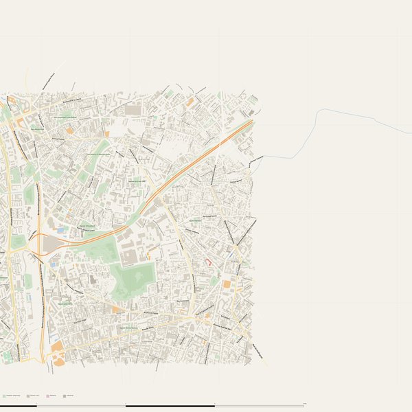
Every street with its name on a clean overview of the whole city. Good for orientation, route planning meetings, and as a base layer your team can mark up.
All streets, all street namesParks, water, civic landmarksNo house numbers — see the streets-with-numbers map for thoseVector PDF · scale 1 : 5 000 · paper sized to city extent
House numbers placed in the centre of every building, every street labelled. Pure address map — no clutter. For mailroom, courier, planning, surveying.
Every street + every house number (centred on building)No POI clutter — addresses speak for themselvesBuilding colour legend in footer (residential / hotel / shop / civic)Vector PDF · scale 1 : 5 000 · paper sized to city extent
The addresses map plus civic landmarks: hospitals, fire stations, police, universities, pharmacies. Built for office walls, dispatch rooms, planning departments.
Every street + every house numberHospitals, fire stations, police, universities, pharmacies markedDistinct shapes per category — readable in black & white photocopyVector PDF · scale 1 : 5 000 · paper sized to city extent
PharmaciesPharmacie de la Mairie · Leadersanté · Grande Pharmacie Mortier +7
KindergartensCrèche Départementale Voltaire · Crèche municipale Miriam Makeba · Crèche sur le Toit +7
UniversitiesOpus formation · Campus Fonderie de l'Image · Autograf +4
ClinicsCentre Municipal de Santé Elsa Rustin · CMS Romainville Louise-Michel · Clinique Paris Lilas +1
PoliceOffice central de lutte contre les crimes contre l'humanité et les crimes de haine (OCLCH) · Police municipale · Police nationale
HospitalsClinique Maussins-Nollet · Hôpital Croix Saint-Simon · Centre médico-chirurgical Floréal
Fire stationsCentre de secours Charonne · Centre de secours de Montreuil
The Bagnolet map, printed
What you get and how it prints.
What size is the printed Bagnolet poster?
At the native scale of 1 : 5 000 the Bagnolet map measures about 60 × 60 cm. It is a vector PDF, so you can also print it smaller (A3, A2) or larger without any loss of sharpness.
What exactly is on the map?
540 named streets (231 km in total), 6,245 house numbers placed on their buildings, parks, rivers and civic landmarks — all from current OpenStreetMap data for Bagnolet.
What file formats do I get?
A vector PDF (prints sharp from A4 up to a 2-metre wall poster) and a large JPG preview. One file, instant download, no subscription.
Can I get a refund?
14-day refund, no questions asked. See our refund policy. →