Large-format printable PDF maps of Aurillac, France — every street with its name, every house number centred on its building, hospitals, schools and civic services. Vector PDF: print sharp at any size, from desk format to a wall poster.
Three printable PDF maps from the same OpenStreetMap data — pick the one for your use case. Single-file download, no subscription, vector quality at any print size.
FREE
Free city map
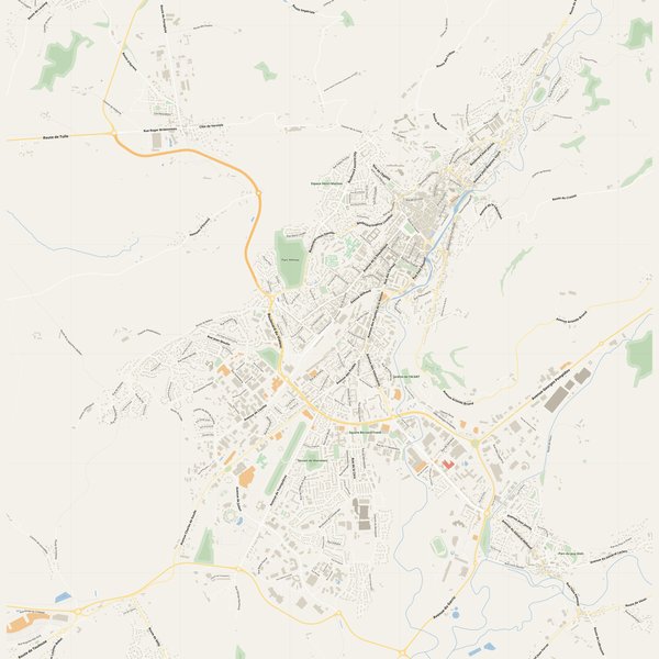
Every street with its name on a clean overview of the whole city. Good for orientation, route planning meetings, and as a base layer your team can mark up.
All streets, all street namesParks, water, civic landmarksNo house numbers — see the streets-with-numbers map for thoseVector PDF · scale 1 : 5 000 · paper sized to city extent
House numbers placed in the centre of every building, every street labelled. Pure address map — no clutter. For mailroom, courier, planning, surveying.
Every street + every house number (centred on building)No POI clutter — addresses speak for themselvesBuilding colour legend in footer (residential / hotel / shop / civic)Vector PDF · scale 1 : 5 000 · paper sized to city extent
The addresses map plus civic landmarks: hospitals, fire stations, police, universities, pharmacies. Built for office walls, dispatch rooms, planning departments.
Every street + every house numberHospitals, fire stations, police, universities, pharmacies markedDistinct shapes per category — readable in black & white photocopyVector PDF · scale 1 : 5 000 · paper sized to city extent
Real numbers from the OpenStreetMap data this map is rendered from.
780named streets
488km of streets
7,311house numbers
11,526buildings
113parks & green areas
Longest streets in Aurillac
Route des Crêtes13.78 km
Route du Puy Mary5.82 km
Avenue Aristide Briand5.37 km
Route de l'Estive4.21 km
Avenue du Garric3.4 km
Avenue du Général Leclerc3.32 km
Civic services on the pro map
PolicePolice nationale · Gendarmerie nationale
PharmaciesPharmacie des Alouettes · Pharmacie Balthazar · Pharmacie de Baradel +7
SchoolsÉcole maternelle Jean-Baptiste Veyre · École maternelle de La Fontaine · École élémentaire Jean-Baptiste Rames +7
UniversitiesInstitut national supérieur du professorat et de l'éducation Clermont-Auvergne · Institut Universitaire de Technologie · CFA agricole et forestier +2
HospitalsCentre hospitalier Henri Mondor · Hôpital Psychiatrique · Centre médico-chirurgical
Fire stationsCentre de secours principal d'Aurillac
The Aurillac map, printed
What you get and how it prints.
What size is the printed Aurillac poster?
At the native scale of 1 : 5 000 the Aurillac map measures about 175 × 181 cm. It is a vector PDF, so you can also print it smaller (A3, A2) or larger without any loss of sharpness.
What exactly is on the map?
780 named streets (488 km in total), 7,311 house numbers placed on their buildings, parks, rivers and civic landmarks — all from current OpenStreetMap data for Aurillac.
What file formats do I get?
A vector PDF (prints sharp from A4 up to a 2-metre wall poster) and a large JPG preview. One file, instant download, no subscription.
Can I get a refund?
14-day refund, no questions asked. See our refund policy. →