Large-format printable PDF maps of Athis-Mons, France — every street with its name, every house number centred on its building, hospitals, schools and civic services. Vector PDF: print sharp at any size, from desk format to a wall poster.
Three printable PDF maps from the same OpenStreetMap data — pick the one for your use case. Single-file download, no subscription, vector quality at any print size.
FREE
Free city map
Every street with its name on a clean overview of the whole city. Good for orientation, route planning meetings, and as a base layer your team can mark up.
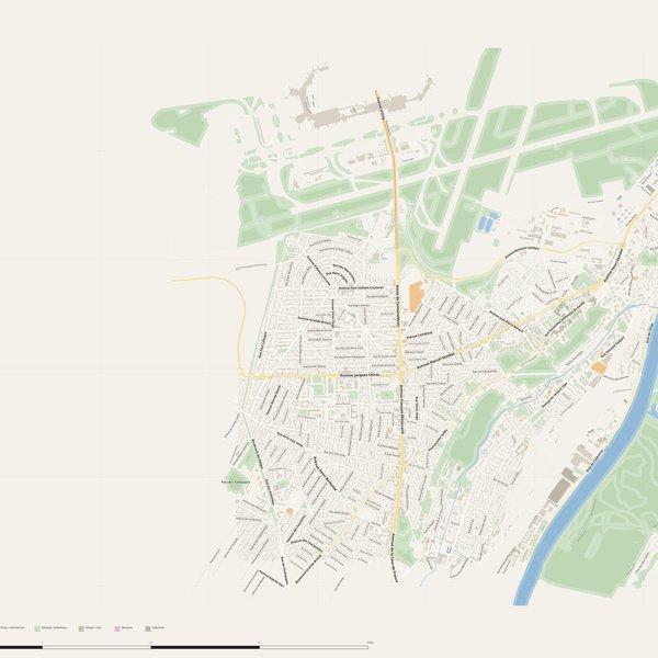
All streets, all street namesParks, water, civic landmarksNo house numbers — see the streets-with-numbers map for thoseVector PDF · scale 1 : 5 000 · paper sized to city extent
House numbers placed in the centre of every building, every street labelled. Pure address map — no clutter. For mailroom, courier, planning, surveying.
Every street + every house number (centred on building)No POI clutter — addresses speak for themselvesBuilding colour legend in footer (residential / hotel / shop / civic)Vector PDF · scale 1 : 5 000 · paper sized to city extent
The addresses map plus civic landmarks: hospitals, fire stations, police, universities, pharmacies. Built for office walls, dispatch rooms, planning departments.
Every street + every house numberHospitals, fire stations, police, universities, pharmacies markedDistinct shapes per category — readable in black & white photocopyVector PDF · scale 1 : 5 000 · paper sized to city extent
Real numbers from the OpenStreetMap data this map is rendered from.
631named streets
362km of streets
5,519house numbers
15,904buildings
912parks & green areas
Longest streets in Athis-Mons
Avenue Bernard Lathière4.49 km
Rue du Musée3.83 km
Avenue Henri Dunant3.83 km
Avenue François Mitterrand3.28 km
Avenue Jean Jaurès2.92 km
Avenue du Général de Gaulle2.43 km
Civic services on the pro map
UniversitiesConservatoire de Musique, de Danse et de Théâtre
SchoolsÉcole Élémentaire Pierre et Marie Curie · École Maternelle Pauline Kergomard · École élémentaire Paul Bert +7
PolicePolice nationale · Police Municipale
PharmaciesPharmacie de la Poste · Pharmacie de la Vieille Poste · Pharmacie Jouve +7
ClinicsMaison de santé pluri-professionnelle « La Pyramide » · Centre médical d'ophtalmologie & esthétique · Maison de santé Lakota +1
KindergartensAccueil de loisirs maternel Kergomard · Les P'tits Loup'ings · Les p'tits Lony
Fire stationsCentre d'incendie et de secours de Juvisy-sur-Orge
HospitalsHôpital Privé d'Athis-Mons
The Athis-Mons map, printed
What you get and how it prints.
What size is the printed Athis-Mons poster?
At the native scale of 1 : 5 000 the Athis-Mons map measures about 98 × 83 cm. It is a vector PDF, so you can also print it smaller (A3, A2) or larger without any loss of sharpness.
What exactly is on the map?
631 named streets (362 km in total), 5,519 house numbers placed on their buildings, parks, rivers and civic landmarks — all from current OpenStreetMap data for Athis-Mons.
What file formats do I get?
A vector PDF (prints sharp from A4 up to a 2-metre wall poster) and a large JPG preview. One file, instant download, no subscription.
Can I get a refund?
14-day refund, no questions asked. See our refund policy. →