Large-format printable PDF maps of Aix-les-Bains, France — every street with its name, every house number centred on its building, hospitals, schools and civic services. Vector PDF: print sharp at any size, from desk format to a wall poster.
Three printable PDF maps from the same OpenStreetMap data — pick the one for your use case. Single-file download, no subscription, vector quality at any print size.
FREE
Free city map
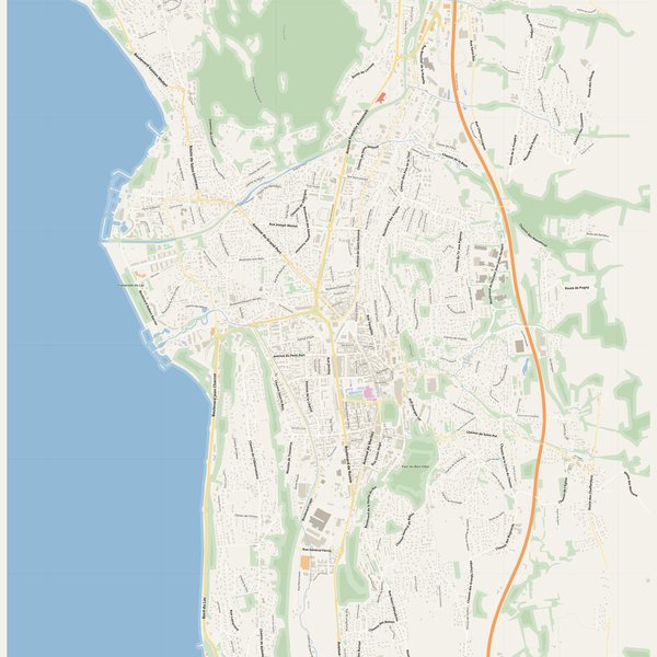
Every street with its name on a clean overview of the whole city. Good for orientation, route planning meetings, and as a base layer your team can mark up.
All streets, all street namesParks, water, civic landmarksNo house numbers — see the streets-with-numbers map for thoseVector PDF · scale 1 : 5 000 · paper sized to city extent
House numbers placed in the centre of every building, every street labelled. Pure address map — no clutter. For mailroom, courier, planning, surveying.
Every street + every house number (centred on building)No POI clutter — addresses speak for themselvesBuilding colour legend in footer (residential / hotel / shop / civic)Vector PDF · scale 1 : 5 000 · paper sized to city extent
The addresses map plus civic landmarks: hospitals, fire stations, police, universities, pharmacies. Built for office walls, dispatch rooms, planning departments.
Every street + every house numberHospitals, fire stations, police, universities, pharmacies markedDistinct shapes per category — readable in black & white photocopyVector PDF · scale 1 : 5 000 · paper sized to city extent
Real numbers from the OpenStreetMap data this map is rendered from.
805named streets
450km of streets
7,346house numbers
12,066buildings
614parks & green areas
Longest streets in Aix-les-Bains
Route du Revard6.02 km
Bord du Lac5.43 km
Route des Bauges4.48 km
Avenue Franklin Roosevelt3.25 km
Boulevard Lepic2.9 km
Avenue du Grand Port2.55 km
Civic services on the pro map
PharmaciesPharmacie du Port · Pharmacie du Rondeau · Pharmacie Centrale Aixoise +7
KindergartensHalte-Garderie l'Île aux Enfants · Les Petis Lions · Baby boom
ClinicsHôpital de jour CMP / CATTP - CHMS · Abeilles Infirmières · GCS Clinique Herbert +1
SchoolsLycée la Savoisienne · Lycée général privé Talmudique · Collège privé la passerelle +7
HospitalsClinique Herbert · Centre hospitalier Métropole Savoie (site d'Aix-les-Bains) · Hôpital Reine Hortense
PolicePolice nationale · Gendarmerie nationale · Police municipale
Fire stationsCentre de secours principal d'Aix-les-Bains
The Aix-les-Bains map, printed
What you get and how it prints.
What size is the printed Aix-les-Bains poster?
At the native scale of 1 : 5 000 the Aix-les-Bains map measures about 107 × 141 cm. It is a vector PDF, so you can also print it smaller (A3, A2) or larger without any loss of sharpness.
What exactly is on the map?
805 named streets (450 km in total), 7,346 house numbers placed on their buildings, parks, rivers and civic landmarks — all from current OpenStreetMap data for Aix-les-Bains.
What file formats do I get?
A vector PDF (prints sharp from A4 up to a 2-metre wall poster) and a large JPG preview. One file, instant download, no subscription.
Can I get a refund?
14-day refund, no questions asked. See our refund policy. →