Large-format printable PDF maps of Achères, France — every street with its name, every house number centred on its building, hospitals, schools and civic services. Vector PDF: print sharp at any size, from desk format to a wall poster.
Three printable PDF maps from the same OpenStreetMap data — pick the one for your use case. Single-file download, no subscription, vector quality at any print size.
FREE
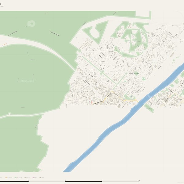
Free city map
Every street with its name on a clean overview of the whole city. Good for orientation, route planning meetings, and as a base layer your team can mark up.
All streets, all street namesParks, water, civic landmarksNo house numbers — see the streets-with-numbers map for thoseVector PDF · scale 1 : 5 000 · paper sized to city extent
House numbers placed in the centre of every building, every street labelled. Pure address map — no clutter. For mailroom, courier, planning, surveying.
Every street + every house number (centred on building)No POI clutter — addresses speak for themselvesBuilding colour legend in footer (residential / hotel / shop / civic)Vector PDF · scale 1 : 5 000 · paper sized to city extent
The addresses map plus civic landmarks: hospitals, fire stations, police, universities, pharmacies. Built for office walls, dispatch rooms, planning departments.
Every street + every house numberHospitals, fire stations, police, universities, pharmacies markedDistinct shapes per category — readable in black & white photocopyVector PDF · scale 1 : 5 000 · paper sized to city extent
Real numbers from the OpenStreetMap data this map is rendered from.
861named streets
534km of streets
5,017house numbers
16,509buildings
440parks & green areas
Longest streets in Achères
Boucle de Chanteloup - Liaison routière RD 30 - RD 1907.71 km
Route Forestière des Pavillons3.98 km
Route de Bret3.57 km
Route Centrale2.94 km
Quai du Génie2.94 km
Avenue Albine2.45 km
Civic services on the pro map
PharmaciesPharmacie Ganachaud · Pharmacie de la Gare · Pharmacie du Centre +7
PolicePolice nationale · Police municipale et nationale · Police municipale
SchoolsÉcole maternelle Louis Pergaud · École maternelle Aristide Briand · École élémentaire Calmette et Guérin +7
Fire stationsCentre de secours nautique (sapeurs-pompiers des Yvelines) · Centre d'incendie et de secours d'Achères · Centre d'incendie et de secours de Maisons-Laffitte
UniversitiesInstitut de formation Jean Brudon
KindergartensCrèche Arc en Ciel
HospitalsPolyclinique de Maisons-Laffitte · Etablissement de médecine, SMR et Institut de néphrologie MGEN Maisons-Laffitte
The Achères map, printed
What you get and how it prints.
What size is the printed Achères poster?
At the native scale of 1 : 5 000 the Achères map measures about 205 × 103 cm. It is a vector PDF, so you can also print it smaller (A3, A2) or larger without any loss of sharpness.
What exactly is on the map?
861 named streets (534 km in total), 5,017 house numbers placed on their buildings, parks, rivers and civic landmarks — all from current OpenStreetMap data for Achères.
What file formats do I get?
A vector PDF (prints sharp from A4 up to a 2-metre wall poster) and a large JPG preview. One file, instant download, no subscription.
Can I get a refund?
14-day refund, no questions asked. See our refund policy. →